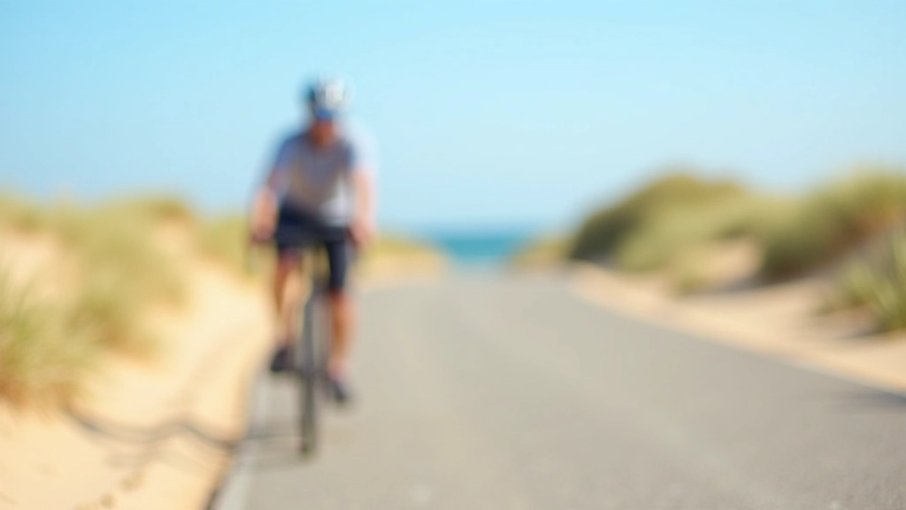
Cycling the Curonian Spit: Route Tips and Trail Conditions
This 60-kilometer coastal path offers stunning views. We'll walk you through the route, difficulty level, best seasons to visit, and what facilities are available along the way.
Understanding the Curonian Spit
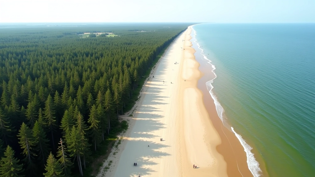
The Curonian Spit's a unique stretch of land — a 97-kilometer sand peninsula separating the Curonian Lagoon from the Baltic Sea. It's shared between Lithuania and Russia, but the Lithuanian side is what we're focusing on here. The cycling path runs for about 60 kilometers along the western coast, and it's become increasingly popular with cyclists looking for a manageable ride with incredible scenery.
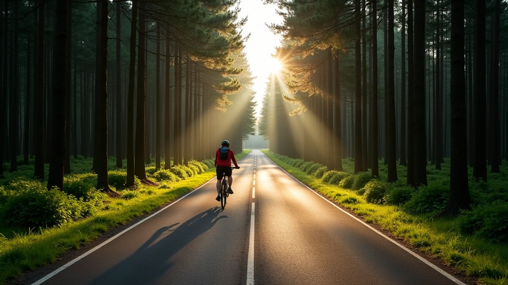
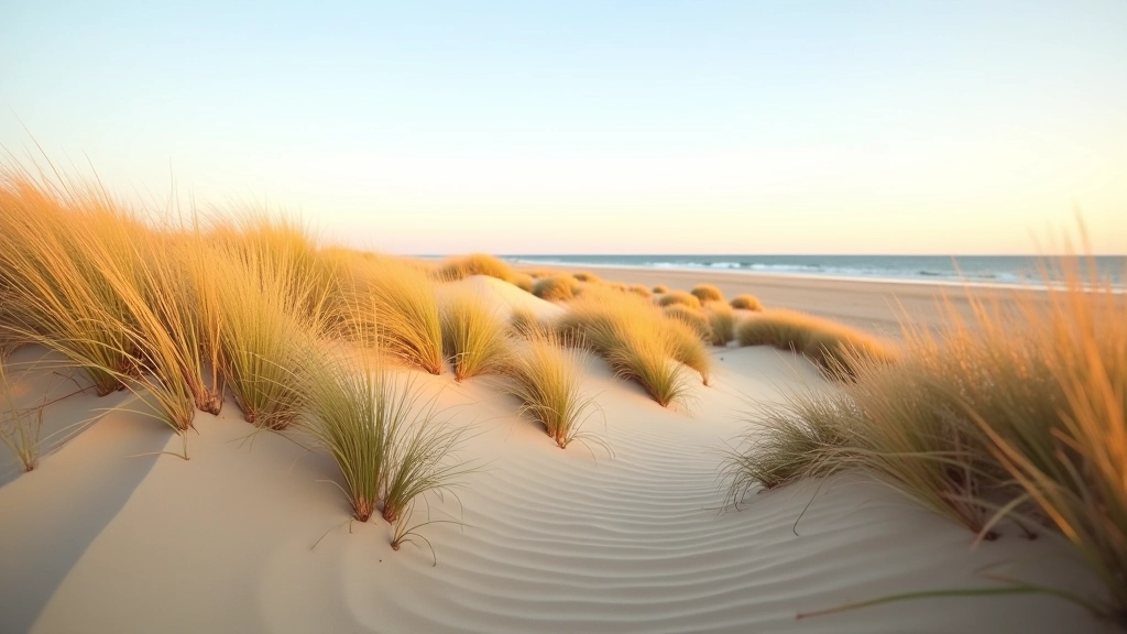
What makes this route special isn't just the views — it's how varied the experience is. You'll pedal through pine forests thick with shade, then emerge onto dune sections where the landscape opens up completely. The path itself is well-maintained asphalt for most of the journey, which means you're not dealing with rough terrain or technical riding. But that doesn't mean it's boring. The combination of elevation changes from the dunes, wind exposure on open sections, and the sheer distance makes it a solid intermediate-level ride.
The Route Breakdown
Here's what you're actually getting into. The main cycling path starts in Nida (the southernmost town on the Lithuanian side) and extends north to Juodkrantė. That's roughly 40 kilometers of continuous riding if you go straight through. If you want to push it further and connect to Smiltynė via the northern sections, you're looking at closer to 60 kilometers total.
The terrain's not uniform throughout. The first 15 kilometers from Nida heading north are fairly flat — the path hugs the lagoon side and you've got tree cover most of the way. Then it gets more interesting. Between Pervalka and Juodkrantė, the dunes become more prominent. You'll encounter real elevation changes here, nothing extreme but noticeable. Some sections push you up 30-40 meters of elevation, which on a bike over sandy terrain can feel like more.
Key Route Sections
- Nida to Pervalka: 15km, flat, lagoon views
- Pervalka to Juodkrantė: 18km, dunes, elevation
- Juodkrantė to Smiltynė: 12km, forest, varied terrain
- Total distance: 45-60km depending on route choice
Trail Conditions & Seasonal Considerations
The asphalt is consistently good quality throughout the route. You won't find potholes or deteriorating surfaces like you might on some other cycling paths. That said, wind's the real factor here. The Spit's exposed — there's nothing blocking the Baltic winds on the western side. Spring and autumn tend to be windiest. Summer's generally calmer, but you'll be sharing the path with more recreational cyclists and families. Winter? It's rideable but not ideal. Snow and ice can cover sections, and the wind gets serious.
Best times to visit are May through September. June and July offer the warmest conditions, but July gets crowded with tourists. May and September give you a sweet spot — pleasant temperatures (around 15-20°C), fewer people, and manageable wind. August's warm but can feel humid. If you're doing this ride, bring layers even in summer. The wind can make it feel 5-10 degrees colder than the actual temperature.
Wind patterns: Strongest in spring (March-May) and autumn (September-November). Expect 15-25 km/h average, with gusts reaching 30+ km/h on exposed sections.
Facilities & Practical Information
You won't find convenience stores every 5 kilometers, so plan accordingly. There are small shops and cafes in the main towns — Nida, Pervalka, Juodkrantė, and Smiltynė. Most are open seasonally (May-September) or have reduced hours outside summer. If you're riding in shoulder seasons, check ahead. Water fountains exist but aren't everywhere, so carrying at least 2 liters is smart.
Accommodation's straightforward. All the towns along the route have guesthouses, hotels, and campsites. Nida's the most developed for tourism, with the most options. But Juodkrantė and Smiltynė offer quieter alternatives if you want fewer crowds. Bike repair shops exist in Nida and Klaipėda (nearby), but not in smaller villages. Carry basic repair tools — spare tube, pump, and multi-tool are non-negotiable.
What to Bring
Practical Tips for Your Ride
Start Early
Begin your ride by 8 or 9 AM. You'll avoid afternoon heat and have better light for navigation. Plus, you're less likely to encounter large groups of cyclists and families on the path early.
Check Wind Forecasts
Wind direction matters enormously here. If the forecast shows strong westerly winds, you might want to ride south to north (so the wind's at your back on the exposed sections). Plan your route direction based on the forecast.
Bike Type Matters
A hybrid or road bike works best. Mountain bikes are overkill for this paved path and will slow you down. Road bikes are fine if you've got decent tires — the surface is smooth enough. Make sure your tires are properly inflated before you start.
Pace Yourself
60 kilometers sounds manageable, but wind and elevation changes mean it'll take longer than you might expect. Plan for 4-5 hours of actual riding time, plus breaks. Don't try to rush it — you're here for the experience, not a speed record.
Stay Hydrated
The wind's dehydrating. You might not feel as thirsty as you actually are. Drink regularly even if you don't feel parched. Electrolyte drinks are better than plain water for long rides, especially in heat.
Watch for Wildlife
The Spit's home to various bird species and occasional deer. Respect the environment — stay on the designated path, don't disturb nesting areas, and keep noise levels down in forested sections.
Ready to Ride?
The Curonian Spit cycling route isn't a casual family ride, but it's not a grueling endurance test either. It's that sweet spot for intermediate cyclists who want a genuine challenge with incredible surroundings. The path's well-maintained, the towns are welcoming, and the scenery changes constantly. You'll pedal through forests so dense you lose track of the sea, then suddenly emerge onto dunes where the horizon opens up completely.
What makes this ride memorable isn't any single spectacular moment — it's the cumulative experience. It's the wind in your face, the smell of pine trees, the occasional glimpse of water between the dunes, and the quiet satisfaction of covering serious distance on your own power. Come prepared, pace yourself, and you'll understand why cyclists keep coming back to this route year after year.

Disclaimer
This article is provided for educational and informational purposes only. Cycling conditions, trail status, and facility availability can change seasonally or due to weather events. Always check current conditions before planning your trip, and consult local tourism information or park authorities for the most up-to-date details. Your personal fitness level, experience, and bike condition should guide your decisions. The information here represents general guidance — circumstances vary, and you're responsible for assessing your own abilities and making safe choices on the road.
Explore More Adventures